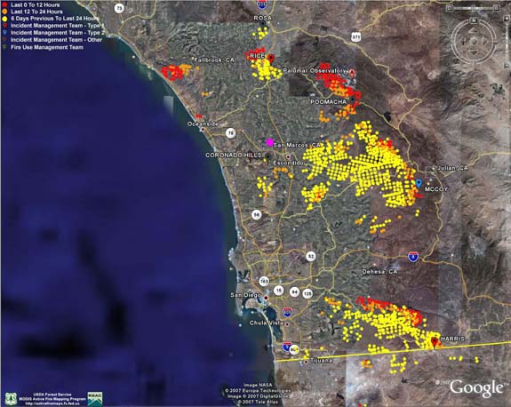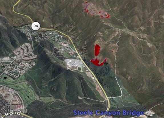
Harris Fire Maps – 17:45
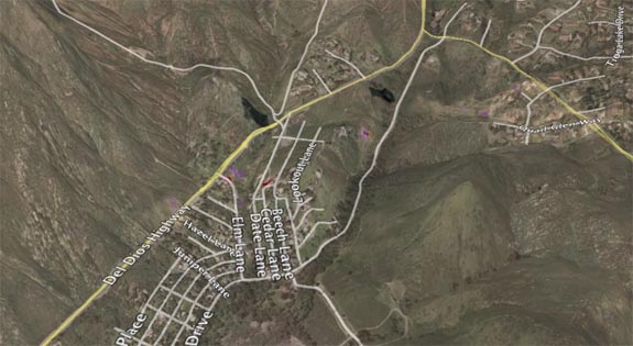
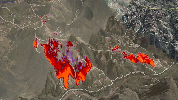
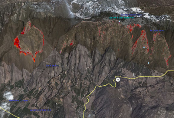
Last but certainly not lest, these are maps of the Harris fire from October 23rd at about 20:00 using the same IR platform as the other images. This is all geo-registered and layed onto Google Earth. None of these maps show the movement of the fires on the 24th (Wednesday), and I will update with […]
